Map Information
-
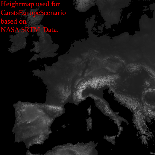
Based on SRTM-Date, scaled down with
factor 3.
-
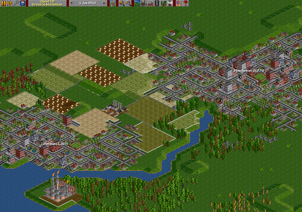
Some hundred cities, all based manually, but nearly on their real places.
-
Countries included: Portugal, Spain, France, Germany, Switzerland, Austria, Lichtenstein, Andorra, Monacco, Italy, BeNeLux, United Kingdom, Ireland, Denmark, Croatia, Bosnia, Yugoslavia, Albania, Macedonia, Greece, Czech, Slovakia, Poland, Latvia, Estonia, Lithuania, Romania, Bulgaria, Belarus, southern parts of Finland, Sweden, Norway and northern parts of Morocco, Algeria & Tunisia.
-
Cities have sizes from 600 to 18.000 inhabitants.
-
Starts in 1920 or 1950 (2 versions included in zip-file download)
-
A lot of industries, planted automatically, some oil-rigs around British islands and south-west-coast of Norway.
-
NOTICE: 4 GRFs installed => DB Set v0.82 (XL), NewStations v0.42, PlaneSet and GermanTramSet. You should be able to play the scenario without these GRFs, but a message will show up that they are missing. Download all 4 of them: Download
-
NOTICE2: Scenario Download is a zip-file. You need to unzip it into your scnearios folder, it includes a version starting in 1920 and one starting in 1950.
Click on my name to see my other maps!
|


