Map Information
-
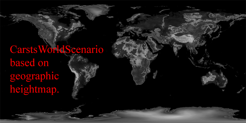
Based on geographic heightmap (by satelite data, but non-srtm).
-
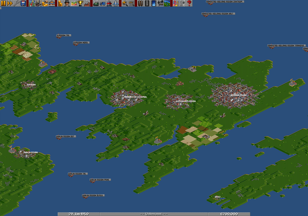
Some hundred cities, all based manually, but nearly on their real places. Included are the 150 largest agglomerations of towns, all towns with more than 1 million inhabitants, in some countries even the towns over 500.000 inhabitants, all capitals, all capitals of US and canadian states/territories.
-
Countries included: Whole planet earth with all countries.
-
Cities have sizes from <100 to 37.000 inhabitants. All real world inhabitants of towns or regions (agglomerations of towns) are divided by 1000, so a town of 4 million inhabitants has 4000.
-
Starts in 1920 or 1950 (2 versions included in zip-file download)
-
A lot of industries, all planted manually, oil- and coal-industry based on real world data.
-
NOTICE: Scenario can only be played with extra-large-maps-patch by Bilbo. Download a complete compiled version of OpenTTD inclusive this and other patches (close&update airports) and GRFs here.
-
NOTICE2: 4 GRFs installed => DB Set v0.82 (XL), NewStations v0.42, PlaneSet and GermanTramSet. You should be able to play the scenario without these GRFs, but a message will show up that they are missing. Download all 4 of them: Download
-
NOTICE3: Scenario Download is a zip-file. You need to unzip it into your scnearios folder, it includes a version starting in 1920 and one starting in 1950.
Click on my name to see my other maps!
|


