Scenariusze oparte na świecie realnym
/File/en/Notice.png
Informacja
Scenariusze dostępne w OpenTTD - dodatki online
/File/en/Translation.png
Ten artykuł jest obecnie tłumaczony z Języka Angielskiego na Język Polski
Tytuł oryginalnego artykułu: en/Community/Scenarios/Real World
Postępy: 5%
  
  • Pomóż rozbudowywać poprzez pomoc w tłumaczeniu.
  • Przeczytaj Instrukcję Stylów przed edycją.
  • Pamiętaj, aby usunąć ten szablon, gdy artykuł zostanie przetłumaczony w całości.

« Powrót do Listy Scenariuszy ogółem

Poniżej znajduje się lista scenariuszy, które można swobodnie pobierać i grać. To jest lista scenariuszy opartych na prawdziwym świecie. Aby uzyskać instrukcje dotyczące dodawania do listy, zobacz Lista Scenariuszy.

Contents

Scenarios

Na całym świecie

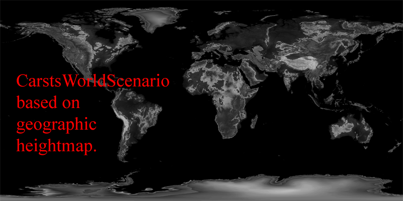
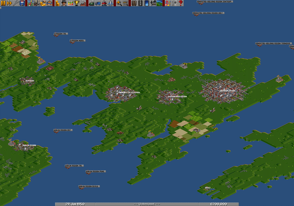
CarstsWorldScenario
/File/en/Community/Scenarios/CarstsWorldScenarioBig.png
/File/en/Community/Scenarios/CarstsWorldScenarioSmall.png
Map Information
  • Based on geographic heightmap (by satelite data, but non-srtm).
  • Some hundred cities, all based manually, but nearly on their real places. Included are the 150 largest agglomerations of towns, all towns with more than 1 million inhabitants, in some countries even the towns over 500.000 inhabitants, all capitals, all capitals of US and canadian states/territories.
  • Countries included: Whole planet earth with all countries.
  • Cities have sizes from <100 to 37.000 inhabitants. All real world inhabitants of towns or regions (agglomerations of towns) are divided by 1000, so a town of 4 million inhabitants has 4000.
  • Starts in 1920 or 1950 (2 versions included in zip-file download)
  • A lot of industries, all planted manually, oil- and coal-industry based on real world data.
  • NOTICE: Scenario can only be played with extra-large-maps-patch by Bilbo. Download a complete compiled version of OpenTTD inclusive this and other patches (close&update airports) and GRFs here.
  • NOTICE2: 4 GRFs installed => DB Set v0.82 (XL), NewStations v0.42, PlaneSet and GermanTramSet. You should be able to play the scenario without these GRFs, but a message will show up that they are missing. Download all 4 of them: Download
  • NOTICE3: Scenario Download is a zip-file. You need to unzip it into your scnearios folder, it includes a version starting in 1920 and one starting in 1950.

Click on my name to see my other maps!
Difficulty: Normal
Setting: Climates (en)
Size: 8192x4096
Relief: Mixed
Quantity of Towns: Normal
Quantity of Industries: Normal
Based on Real World: World
OpenTTD version: 0.7.0 and up
Author: CARST
Download this scenario

Europe

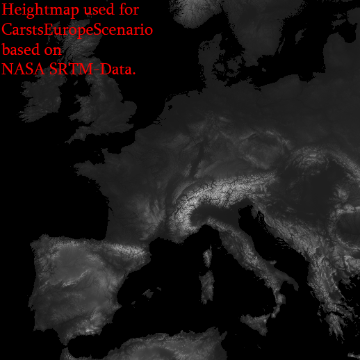
CarstsEuropeScenario_v3
/File/en/Community/Scenarios/CarstsEuropeScenarioBig.png
/File/en/Community/Scenarios/CarstsEuropeScenarioSmall.png
Map Information
  • Based on SRTM-Date, scaled down with
factor 3.
  • Some hundred cities, all based manually, but nearly on their real places.
  • Countries included: Portugal, Spain, France, Germany, Switzerland, Austria, Lichtenstein, Andorra, Monacco, Italy, BeNeLux, United Kingdom, Ireland, Denmark, Croatia, Bosnia, Yugoslavia, Albania, Macedonia, Greece, Czech, Slovakia, Poland, Latvia, Estonia, Lithuania, Romania, Bulgaria, Belarus, southern parts of Finland, Sweden, Norway and northern parts of Morocco, Algeria & Tunisia.
  • Cities have sizes from 600 to 18.000 inhabitants.
  • Starts in 1920 or 1950 (2 versions included in zip-file download)
  • A lot of industries, planted automatically, some oil-rigs around British islands and south-west-coast of Norway.
  • NOTICE: 4 GRFs installed => DB Set v0.82 (XL), NewStations v0.42, PlaneSet and GermanTramSet. You should be able to play the scenario without these GRFs, but a message will show up that they are missing. Download all 4 of them: Download
  • NOTICE2: Scenario Download is a zip-file. You need to unzip it into your scnearios folder, it includes a version starting in 1920 and one starting in 1950.

Click on my name to see my other maps!
Difficulty: Normal
Setting: Climates (en)
Size: 2048x2048
Relief: Mixed
Quantity of Towns: High
Quantity of Industries: High
Based on Real World: Europe
OpenTTD version: 0.5.1 RC2 and upwards
Author: CARST
Download this scenario

Denmark

Denmark
/File/en/Community/Scenarios/Scn-Denmark.png
/File/en/Community/Scenarios/Scn-Denmark-Detail.png
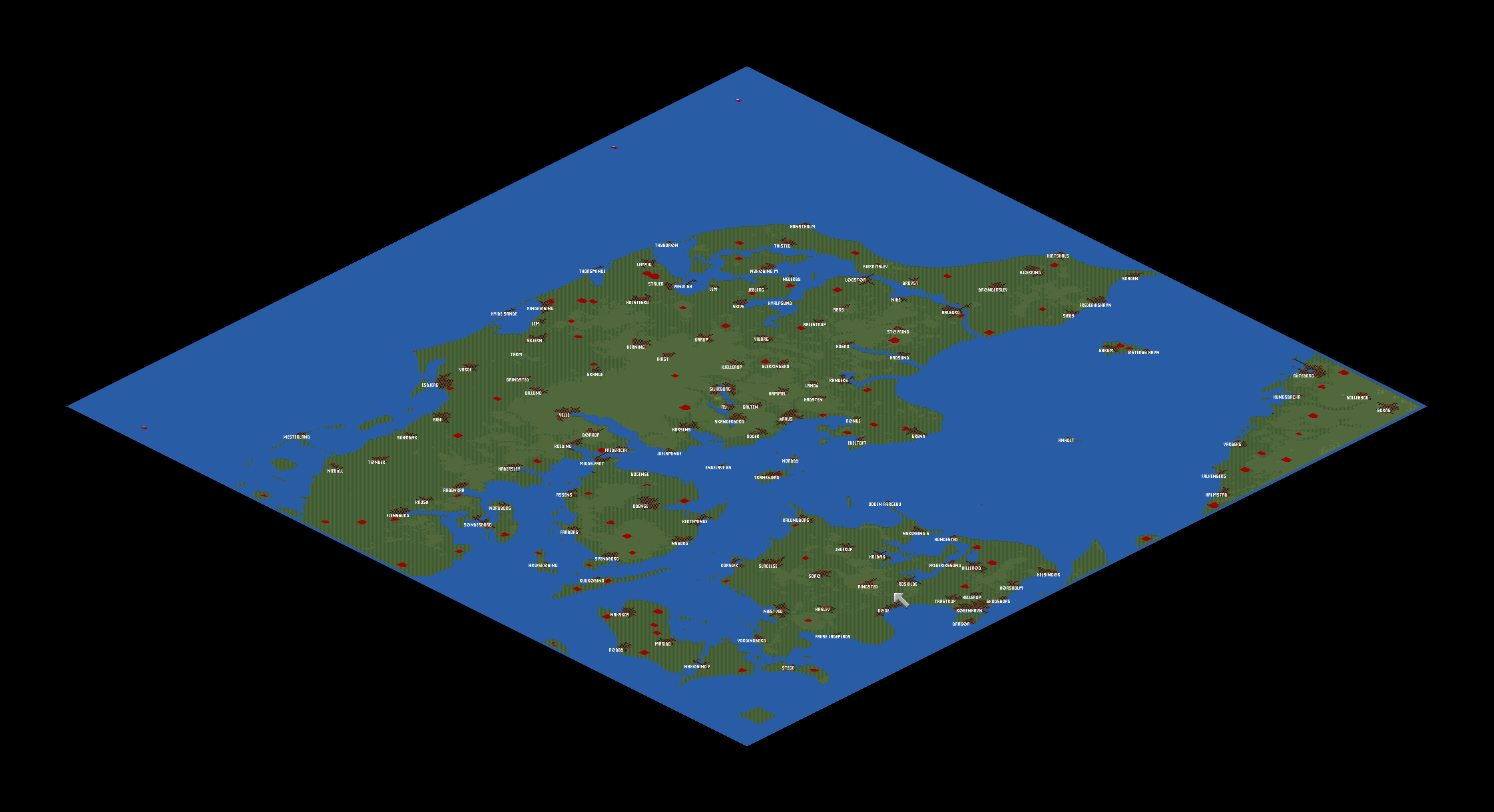
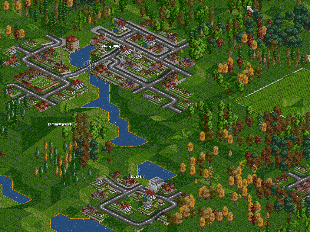
A sought to be realistic scenario of Denmark. From Heightmap (en), and with 129 towns. Mail suggestions to krasmussen at gmail spot com.
Difficulty: Normal
Setting: Climates (en)
Size: 1024x1024
Relief: Flat
Quantity of Towns: High
Quantity of Industries: Normal
Based on Real World: Denmark
OpenTTD version: 0.5.1-RC2
Author: Kristian Rasmussen
Download this scenario

Øresund
/File/en/Community/Scenarios/Scn-Oresund-Minimap.png
/File/en/Community/Scenarios/Scn-Oresund-Screenshot.png
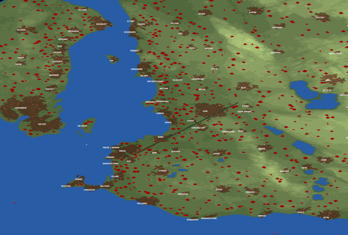
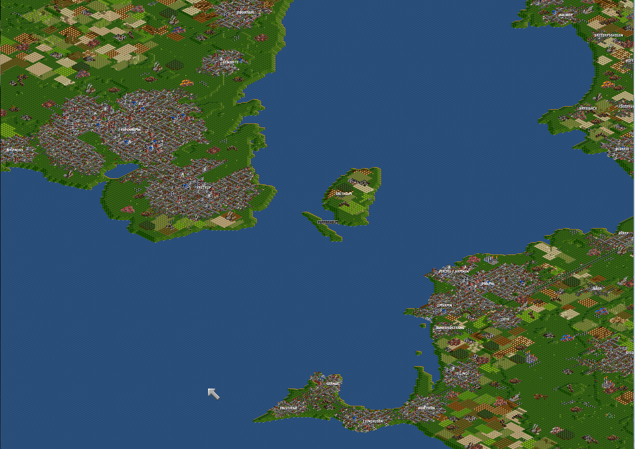
A map of Øresund with orginal town names and landscape.
Difficulty: Normal
Setting: Climates (en)
Size: 1024x1024
Relief: Flat
Quantity of Towns: High
Quantity of Industries: High
Based on Real World: Øresund
OpenTTD version: 0.1.0
Author: danielnord
Download this scenario

France

South West France
/File/en/Community/Scenarios/South west france minimap.png
/File/en/Community/Scenarios/South west france detail.png
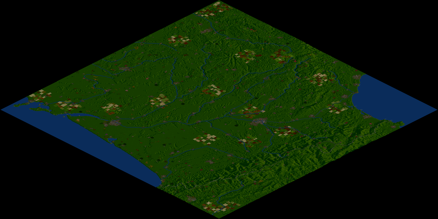
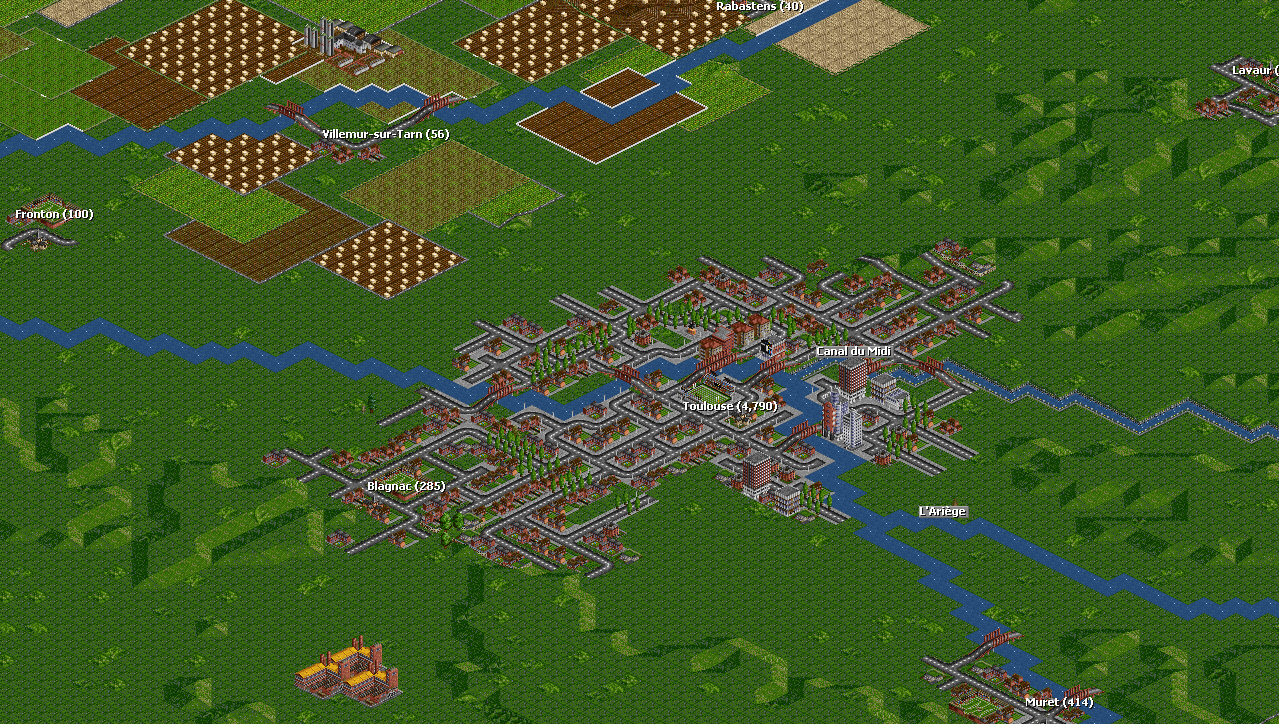
This scenario is a realistic reproduction of the "Great South-West" of France, from La Rochelle to Montpellier and from Clermont-Ferrand to Biarritz. This map also includes Andorra and the Spanish side of the Pyrenees mountains. See this link for a full description. No GRF required.
Difficulty: Normal
Setting: Climates (en)
Size: 512x512
Relief: Mixed
Quantity of Towns: High
Quantity of Industries: Normal
Based on Real World: Yes
OpenTTD version: 0.7.0
Author: Piccolo
Download this scenario

Germany

German Reunification
/File/en/Community/Scenarios/German Reunification ss1.png
/File/en/Community/Scenarios/German Reunification ss2.png
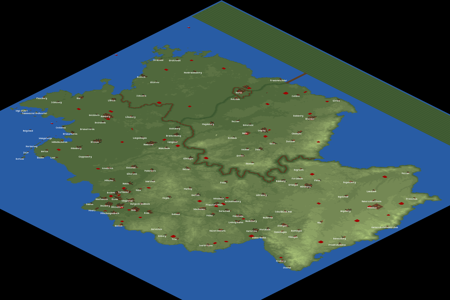
Imagine Germany was an island. This map is based on real heightmap data, and the cities are placed according to their real geographical co-ordinates. The relief on the map varies (south more mountainous, north more flat). Unfortunately, due to space constraints the following large cities are missing: Gelsenkirchen, Krefeld, Hagen, Herne, Mülheim, Solingen, Leverkusen, Neuss, Recklinghausen, Bottrop, and Remscheid. Except for those, all of the cities in Germany with more than 100,000 inhabitants are included, plus many more.

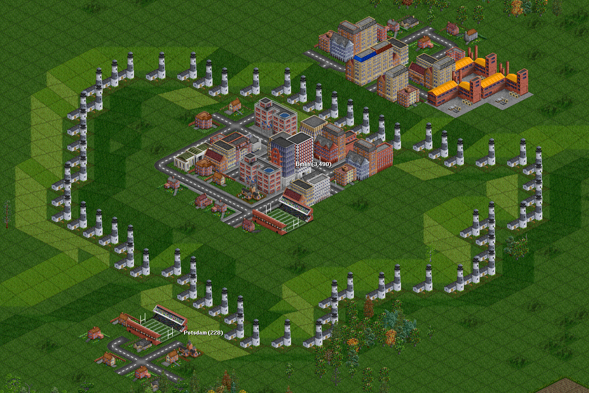
We added a mechanism to simulate the separation between West and East Germany until 1989. Water will come flowing in slowly, and the border (simulated by a wall of radio masts and lighthouses) will "open" around 1989. Yes, we know you can easily circumvent the inner German border (by lowering land near the coast to let the water flow in earlier). The game is more interesting if you don't.

We uploaded this scenario on 3rd Oct 2007, the 17th anniversary of German reunification.
Difficulty: Easy
Setting: Climates (en)
Size: 512x512
Relief: Mixed
Quantity of Towns: High
Quantity of Industries: Low
Based on Real World: Germany
OpenTTD version: r10606
Author: CMG Lee and Timwi
Download this scenario

Poland

Poland
/File/en/Community/Scenarios/Polska-miniMapa.png
/File/en/Community/Scenarios/Polska-Map.png
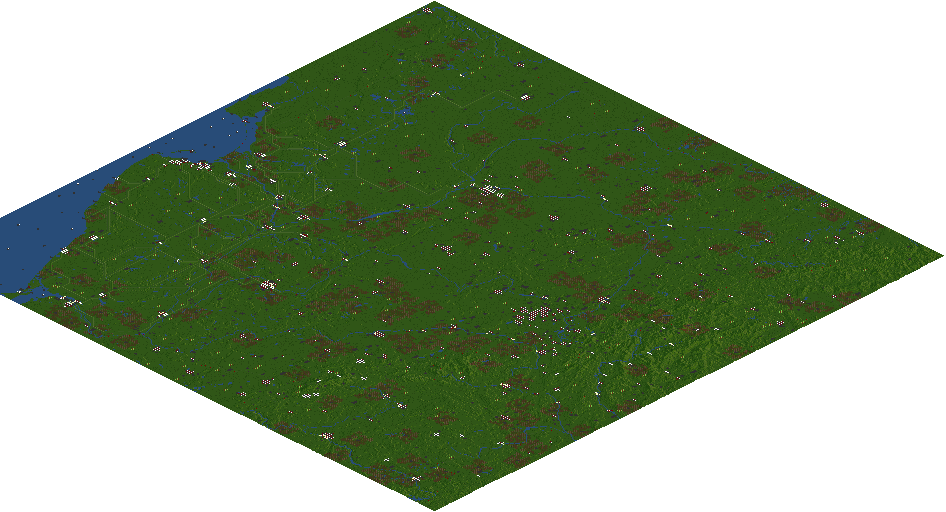
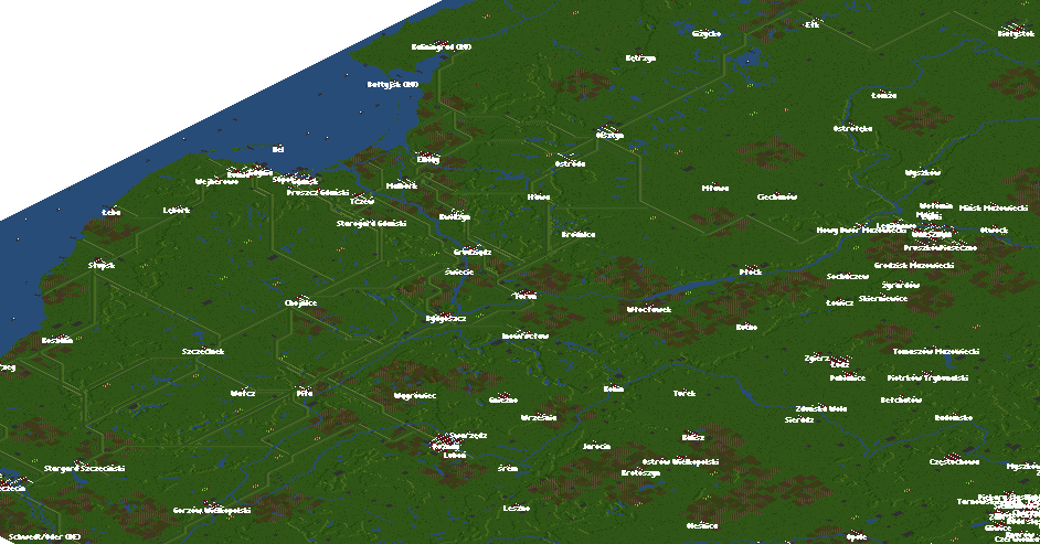
Ta mapa jest oparta na rzeczywistych danych mapy wysokości, a miasta są rozmieszczone zgodnie z ich rzeczywistymi współrzędnymi geograficznymi. Ukształtowanie terenu na mapie jest różne (południe bardziej górzysty, północ bardziej płaski). Uwzględniono wszystkie miasta w Polsce o liczbie mieszkańców przekraczającej 100 000, a także wiele innych .Server multiplayer .

City Growth Limiter i polskie dodatki .grf można wyszukać automatycznie z poziomu menu gry. Actualisation : 21.06.2020 r. v.1.4 http://openttd-polska.pl/Thread-Mapy-Mapa-Polski-pAter
Difficulty: Medium
Setting: Umiarkowany klimat
Size: 1024x1024
Relief: Mixed
Quantity of Towns: High
Quantity of Industries: Low
Based on Real World: Polska
OpenTTD version: '1.10'
Author: pAter
Download this scenario

The Netherlands

Flevoland
/File/en/Community/Scenarios/Flevoland minimap.png
/File/en/Community/Scenarios/Flevoland detail.png
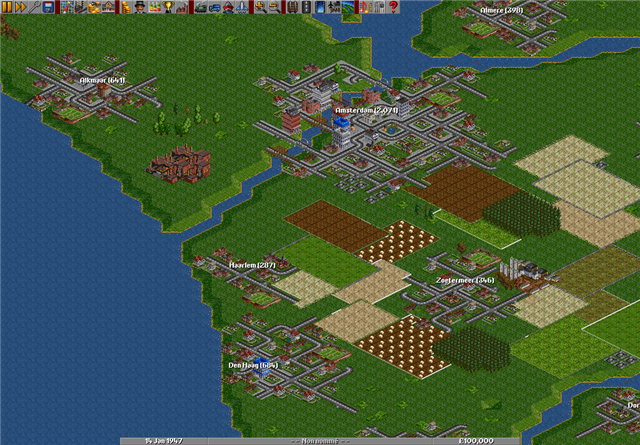
Flevoland is a province of the Netherlands and one of the famous polders. The dikes prevent the towns and cities from flooding. Accidentally removing a part of the dike, will really get things under water. The scenario starts at 1984, year of founding the town Zeewolde. (Youngest town of the Netherlands)
Difficulty: Easy
Setting: Climates (en)
Size: 512x512
Relief: Very Flat
Quantity of Towns: Low
Quantity of Industries: Normal
Based on Real World: Flevoland, The Netherlands
OpenTTD version: 0.6.3
Author: PSVSupporter
Download this scenario

The Netherlands
/File/en/Community/Scenarios/The Netherlands.png
/File/en/Community/Scenarios/The Netherlands Giant.png
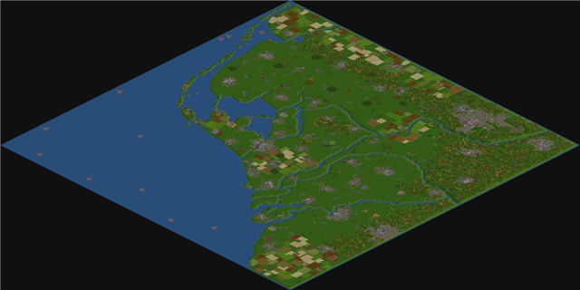
This scenario is a perfect copy of the real Netherlands. With in the north the Dutch isles, called: The "Waddeneilanden". In the middle part, the "Veluwe" and of course in the south the "Vaalserberg". This scenario is the perfect one for evey Dutch inhabitent, to exploit the land, just after the end of the second world war. Are you the one that builds up the NS, or the ferry service from Den Helder to Den Burg, maybe the route from the German Ruhr Area? All these things are possible in this fantastic scenario!
Difficulty: Hard
Setting: Climates (en)
Size: 256x256
Relief: Very Flat
Quantity of Towns: High
Quantity of Industries: High
Based on Real World: Netherlands
OpenTTD version: 0.5.2
Author: Luukland
Download this scenario

United Kingdom

North_England
/File/en/Community/Scenarios/N England map.png
/File/en/Community/Scenarios/Liverpool 2 Jan 1929.png
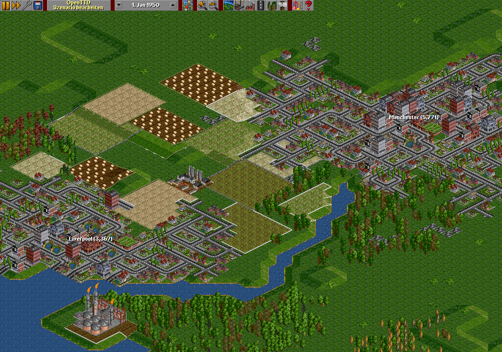
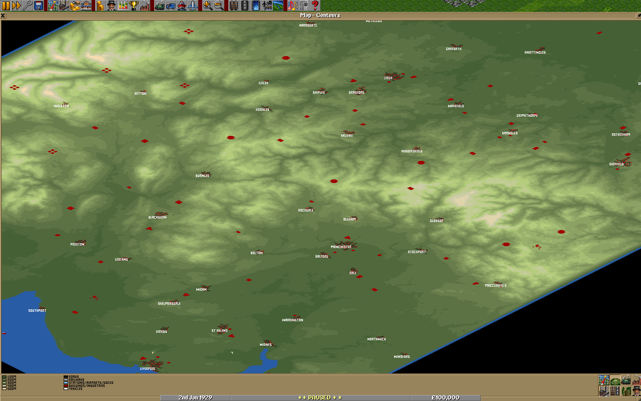
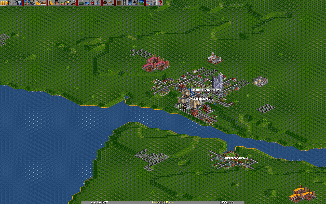
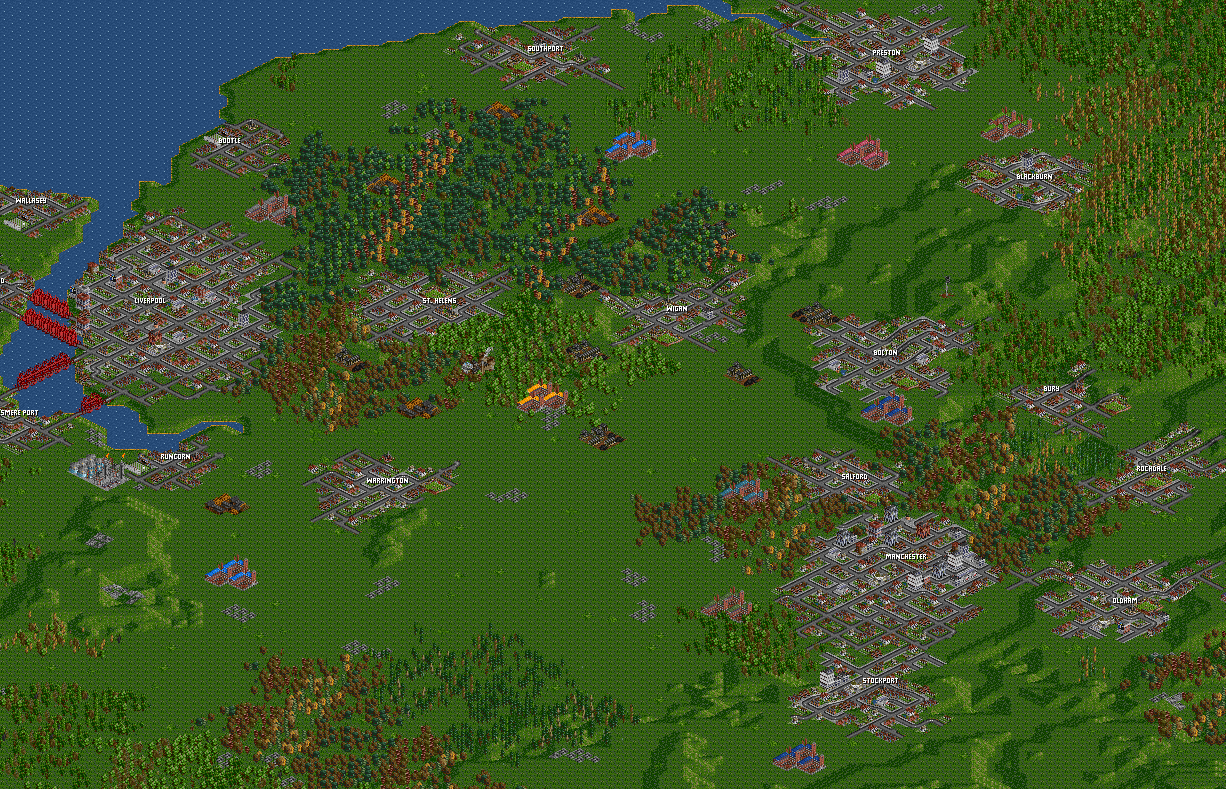
The North of England, from Barrow in Furness in the N-W to Lincoln in the S-E. The location of the towns are approximately correct, but not their size. The industries have been placed to make an interesting game, and you must have Pika Basic Industries v1.5 grf. Replacement Town for OpenTTD grf is also recommended. Note that there aren’t many sawmills, oil refineries or steel mills so don’t lose them by not supplying them early. Please don’t bulldoze the Pennines flat just to connect Leeds with Liverpool.
Difficulty: Hard
Setting: Climates (en)
Size: 510 x 1020
Relief: Mixed
Quantity of Towns: Low
Quantity of Industries: Normal
Based on Real World: Yes
OpenTTD version: 0.6.1
Author: Sootynz
Download this scenario

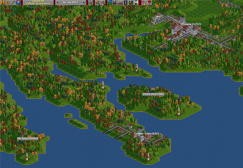
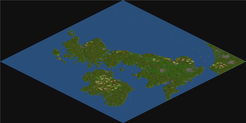
North-West Europe
/File/en/Community/Scenarios/North West Europe.png
/File/en/Community/Scenarios/North West Europe Giant.png
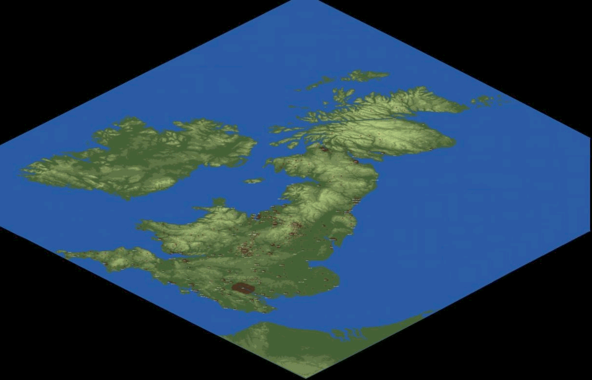
This map is the game of your dreams!! Did you always want to build the whole UK full of tracks? Or to connect France and England? Now is your chance!! This scenario offers a lot of potential. You can transport Passengers from all big cities, and transport oil from the North Sea to Rotterdam's harbour. Try to transport wood from the Scottish highlands to the lowlands and Glasgow. With Settings set to very easy, you can build everything of your dreams. Try it, and relieve the Industrial Age, where you are the transporter!!
Difficulty: Easy
Setting: Climates (en)
Size: 512x512
Relief: Mixed
Quantity of Towns: High
Quantity of Industries: High
Based on Real World: British Isles (UK & Eire) & the Low Countries area
OpenTTD version: 0.5.2
Author: Luukland
Download this scenario

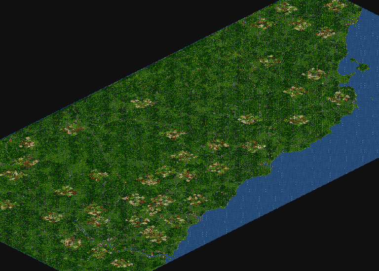
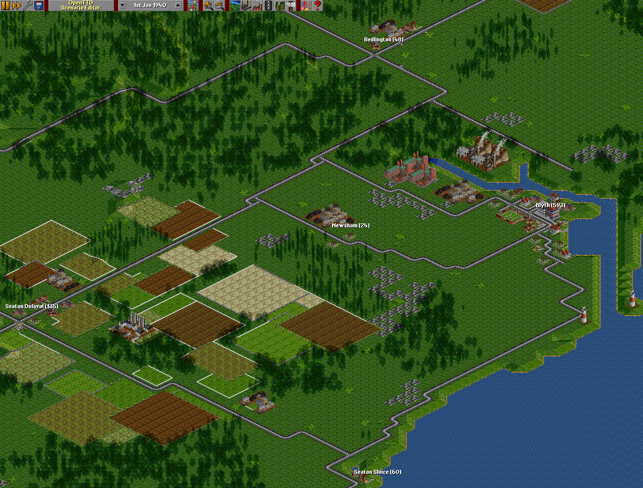
Northumberland, England
/File/en/Community/Scenarios/PL Northumberland 3a.png
/File/en/Community/Scenarios/PL Blyth 3a.png
A simulation of Northumberland, with main towns, villages, industries and major roads. Towns & villages are small to leave plenty of room for development. Extra industries & resources are added to improve gameplay.
Difficulty: Normal
Setting: Temperate
Size: 1024x512
Relief: Hilly
Quantity of Towns: Low
Quantity of Industries: Low
Based on Real World: Northumberland, England
OpenTTD version: Updated to 1.6.1, 2017
Author: Pete Loud
Download this scenario

South Yorkshire
/File/en/Community/Scenarios/SYorks map.png
/File/en/Community/Scenarios/SYorks1, 7th April 1930.png
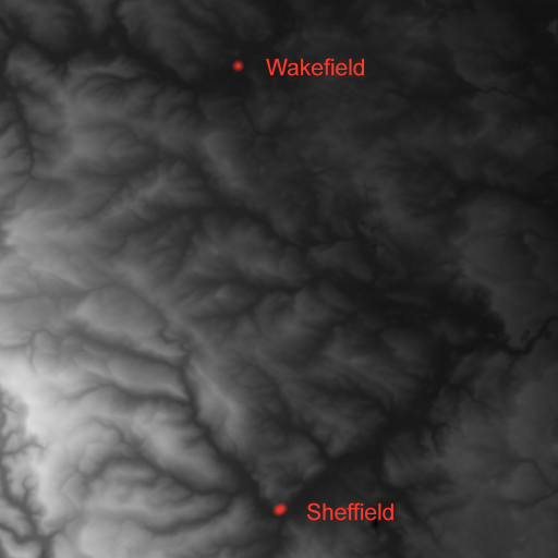
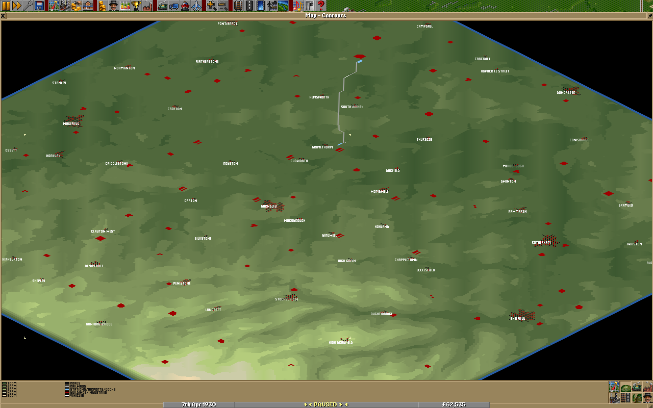
"Where there's muck, there's money". A large scale map of South Yorkshire, England, from Wakefield to Sheffield using the Basic and Wood vectors of the ECS. You must load these two grfs. Replacement Town for OpenTTD grf is also recommended. There is no sea nor any rivers. The location of the towns are approximately correct, but apart from a few, I havent checked to see if they should have been placed on a valley floor or on the side of a hill. Huddersfield and Doncaster have been moved a little East and West respectively to fit them on the map. Apart from the major towns, all the others have been generated with smallish populations. Some of the industries have been located correctly, others to make an interesting game. There are two gold mines, but as far as I know Gold hasnt been discovered in real life - yet.
Difficulty: Normall
Setting: Climates (en)
Size: 510 x 510
Relief: Mixed
Quantity of Towns: Normal
Quantity of Industries: Normal
Based on Real World: Yes
OpenTTD version: nightly after 14462
Author: Sootynz
Download this scenario

United Kingdom v1.0
/File/en/Community/Scenarios/Scn-UnitedKingdom-Minimap.png
/File/en/Community/Scenarios/Scn-UnitedKingdom-Screenshot.png
Map Information
  • Geography
Approximately correct; Based off height map data from NASA; Placement of lighthouses bares no resemblance to real lighthouses; Major TV Masts are accurately placed
  • Towns / Cities
Populations are approx real 2001 populations / 125; To be included population must be greater than 10,000 in the real world (equivalent to 80 in the game); Towns / Cities have been included on the following basis
  • all cities (officially must be above 100,000)
  • all towns over 60,000
  • all other cities (under 100,000 but with a cathedral)
  • all county towns (towns that originally gave the county its name)
  • other towns of significance (usually geographically significant)
Populations are within 15% accuracy; Locations have been approximated using detailed terrain maps and relative positions; 197 towns in total
  • Industry
The following industries have been based off maps of centres of UK industry
  • Oil Rigs
  • Oil Refineries
  • Oil Wells
  • Coal Mines
  • Coal Power Stations
  • Steel Plants
  • Farms
  • Forests
More than 1 of the same type of industry per town has been enabled to allow more realistic placement; Banks are in all towns big enough (1200 population); Factories are clustered around the major urban areas, particularly in northern England; Iron ore mines are located in Cumbria and Cornwall as these appear to be the only parts of the UK with significant quantities of iron ore
  • General
Mainland Europe and Republic of / Northern Ireland are not yet populated with industries / towns; Some industry placement may need revising due to large distances; Cities become very large in later stages of game, may be better to start with real population / 250 (half current levels)
Difficulty: Easy
Setting: Climates (en)
Size: 2048x2048
Relief: Mixed
Quantity of Towns: Normal
Quantity of Industries: High
Based on Real World: United Kingdom
OpenTTD version: 0.5.0
Author: JonScaife
Download this scenario

Isle Of Wight
/File/en/Community/Scenarios/Screenshot.jpeg
/File/en/Community/Scenarios/Minimap.jpeg
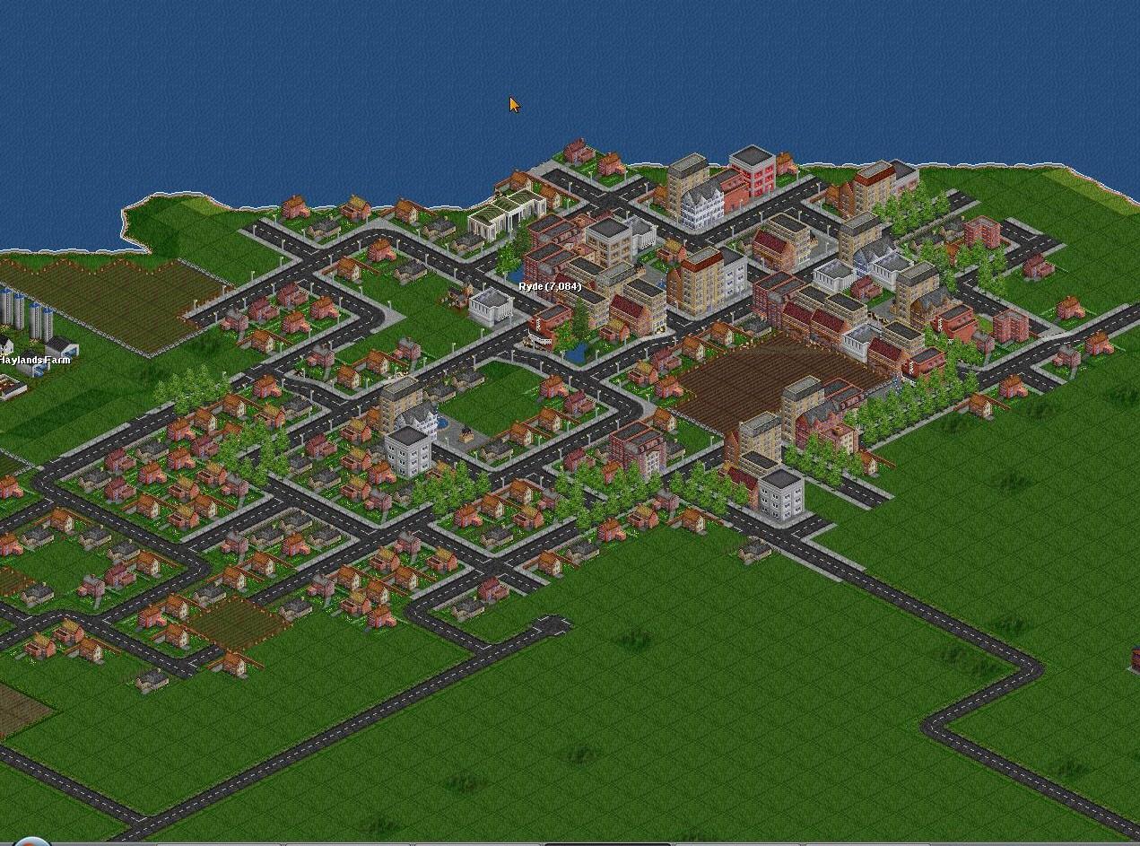
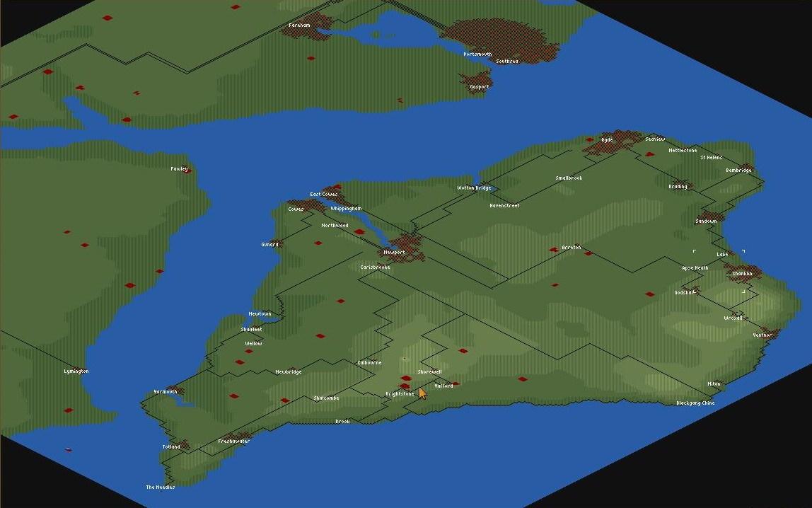
Isle Of Wight Scenario. Has all the main towns and small villages. Limited industries and mostly farms to reflect real siutuation. Also has some bigger towns on the mainland. You will need to download new grf in order to have the required grf for this to work. Please do not build bridges to the mainland as this will ruin the scenario.
Difficulty: Easy
Setting: Climates (en)
Size: 512x512
Relief: Very Flat
Quantity of Towns: Normal
Quantity of Industries: Low
Based on Real World: Isle of Wight
OpenTTD version: 1.2.0
Author: LLgoatJ (en)
Download this scenario

Other European areas

Iceland
/File/en/Community/Scenarios/Scn-Iceland-Minimap.png
/File/en/Community/Scenarios/Scn-Iceland-Screenshot.png
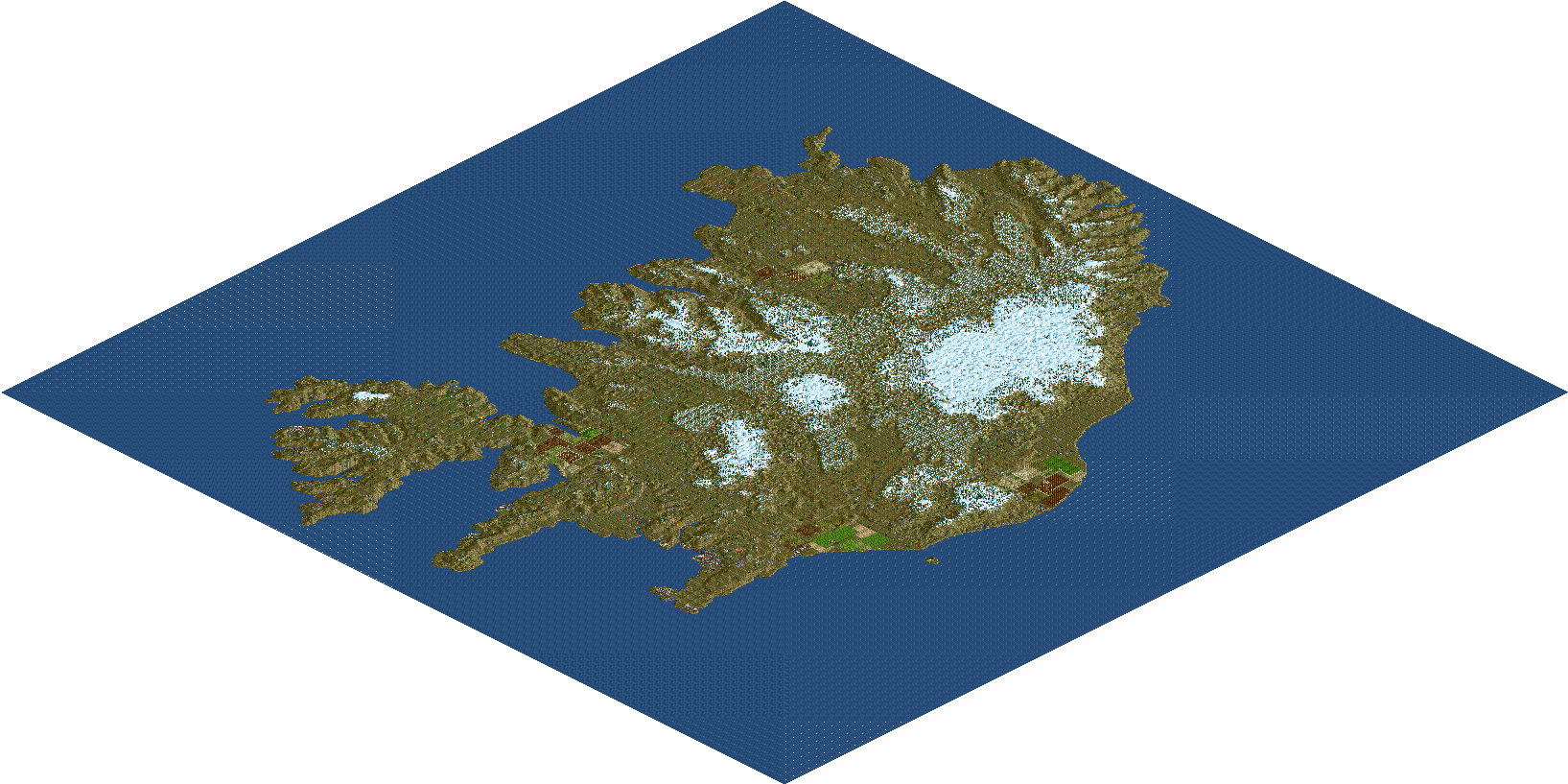
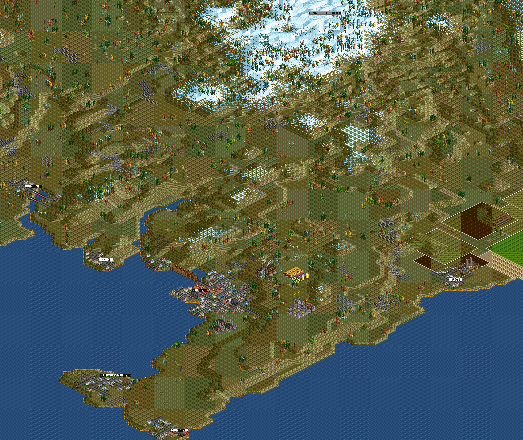
A map of Iceland with original town names and landscape.
Difficulty: Normal
Setting: Climates (en)
Size: 512x512
Relief: Hilly
Quantity of Towns: Low
Quantity of Industries: Low
Based on Real World: Iceland
OpenTTD version: 0.5.0
Author: Knartz
Download this scenario

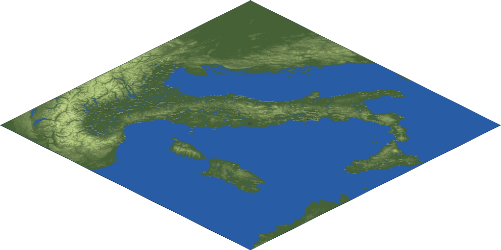
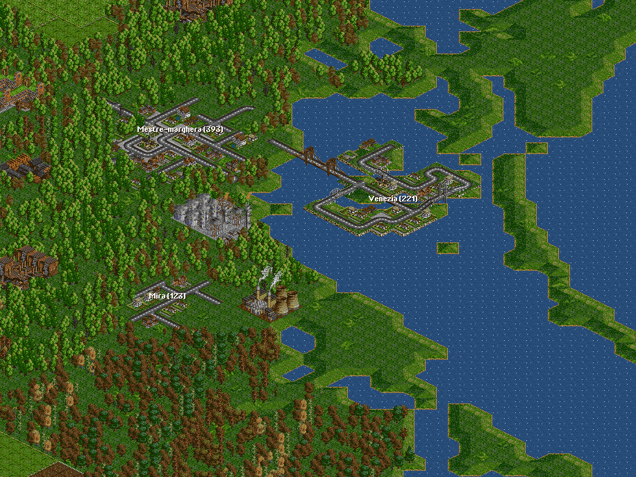
Italy Scenario v.035
/File/en/Community/Scenarios/SCN-ITALY035-MINIMAP.png
/File/en/Community/Scenarios/SCN-ITALY035-SCREENSHOT.png
the variety of this scenario allow to use several strategies of game. [link]
Difficulty: Easy
Setting: Climates (en)
Size: 2048x2048
Relief: Mixed
Quantity of Towns: High
Quantity of Industries: High
Based on Real World: Italy
OpenTTD version: 0.5.0 RC4
Author: Mikima, license: Share Alike 2.5
Download this scenario

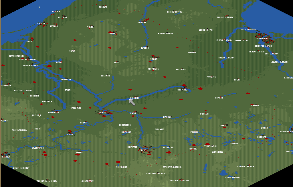
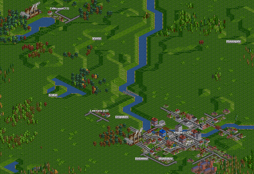
Lithuania
/File/en/Community/Scenarios/LithuaniaMinimap.png
/File/en/Community/Scenarios/LithuaniaScreenshot.png
This map contains the territory of Lithuania, big part of Latvia and also some of Belarus, Poland and Kaliningrad Oblast. The city positioning, size and overall topology are based on actual geographical data. Industries, while not completely fictional, are not representative of any real establishments.

Combined with an Alternative base costs NewGRF, Lithuanian map provides a challenging game, with extensive farmland, rivers and hilly regions on the southeast corner of the map creating plenty of difficulties to find the best path. Industries and towns are plentiful, however, only several of them are big enough to sustain local passenger services. Vilnius-Kaunas line is an obvious starting point for any business, with Riga and Grodno providing alternative and more challenging spots.

You can discuss this scenario in tt-forums.
Difficulty: Normal
Setting: Climates (en)
Size: 512x512
Relief: Mixed
Quantity of Towns: Normal
Quantity of Industries: Normal
Based on Real World: Lithuania
OpenTTD version: 0.7.0
Author: carnifex, brisky
Download this scenario

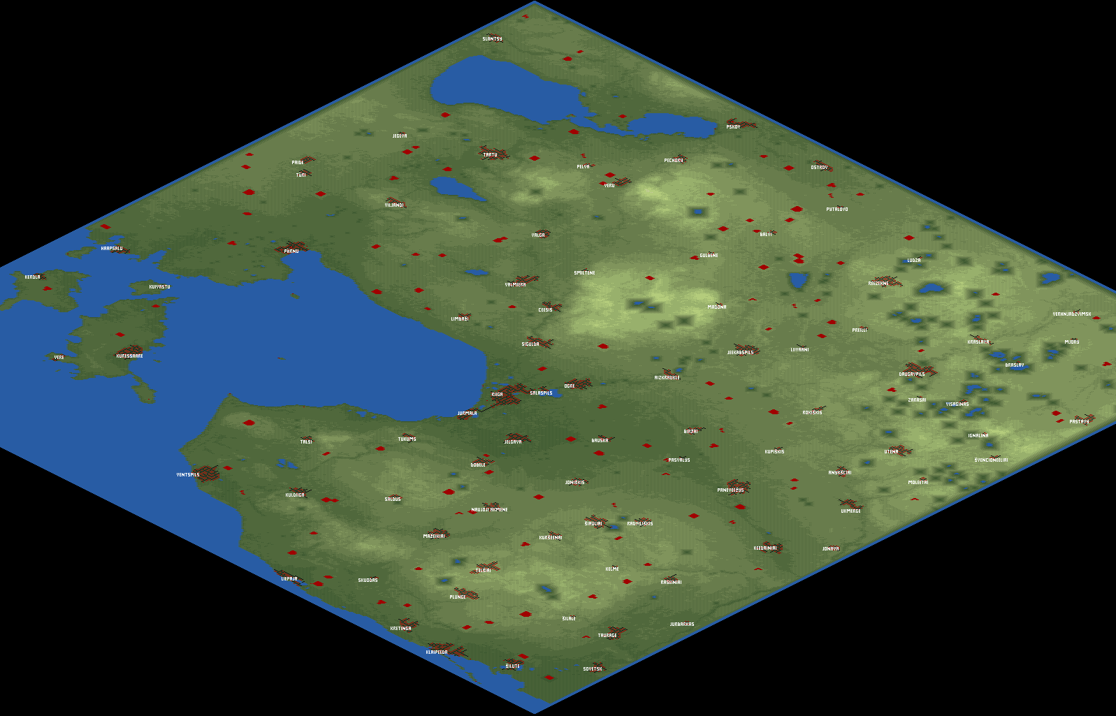
Latvia
/File/en/Community/Scenarios/Latvia Minimap.png
/File/en/Community/Scenarios/Latvia Screenshot.png
This map contains the whole territory of Latvia, created from a heightmap. Due to limited choices of aspect ratio (mainly 1:1 and 1:2), 1/2 of Estonia and 1/3 of Lithuania were also included, as well as small parts of Russia and Belarus. The towns are in their correct coordinates, but the trees and factories were placed randomly.
Difficulty: Normal
Setting: Climates (en)
Size: 512x512
Relief: Mixed
Quantity of Towns: Normal
Quantity of Industries: Normal
Based on Real World: Latvia
OpenTTD version: v0.6.0 beta3
Author: Pendrokar
Download this scenario

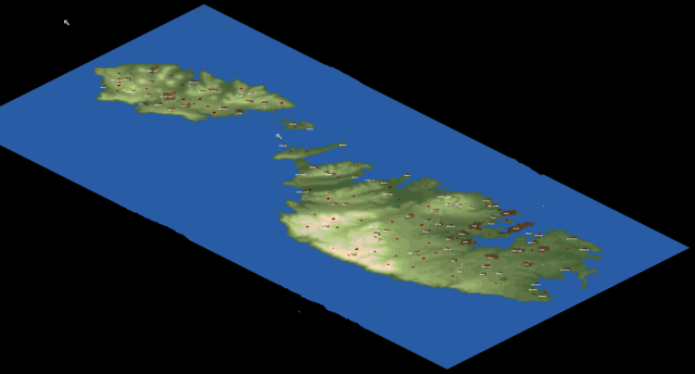
Malta
/File/en/Community/Scenarios/Malta Uebersicht.png
/File/en/Community/Scenarios/Malta Detail.png
This is a scenario of Malta, Gozo and Comino based on SRTM-3 Data.
Difficulty: Easy
Setting: Climates (en)
Size: 512x1024
Relief: Hilly
Quantity of Towns: Normal
Quantity of Industries: Normal
Based on Real World: Malta
OpenTTD version: 0.6.0-beta3
Author: Daisayah
Download this scenario

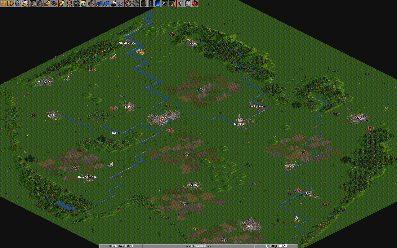
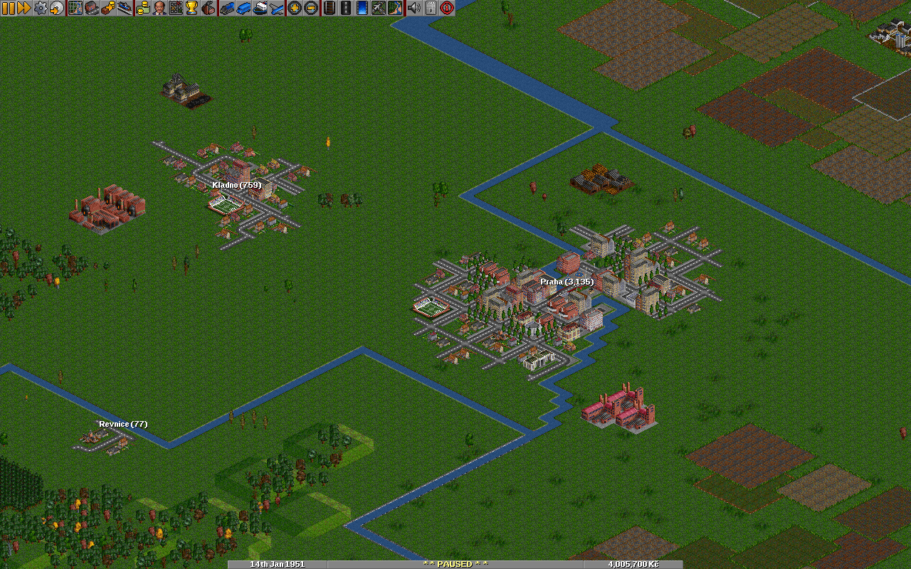
Czech Republic
/File/en/Community/Scenarios/Czech Republic minimap.png
/File/en/Community/Scenarios/Czech Republic screenshot.png
This scenario reflects major towns and industry in Czech Republic.
Difficulty: Easy
Setting: Climates (en)
Size: 256x256
Relief: Mixed
Quantity of Towns: Low
Quantity of Industries: Normal
Based on Real World: Czech Republic
OpenTTD version: 1.0-beta2
Author: Destil
Download this scenario

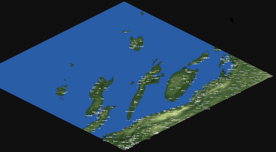
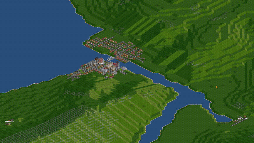
Croatia Dalmatia
/File/en/Community/Scenarios/Croatia Dalmatia minimap.jpeg
/File/en/Community/Scenarios/Croatia Dalmatia screenshot.jpeg
Coast and islands from Split to Ploče.
Difficulty: Easy
Setting: Climates (en)
Size: 4096x4096
Relief: Mixed
Quantity of Towns: Low
Quantity of Industries: None
Based on Real World: Croatia
OpenTTD version: 1.0
Author: Kraken
Download this scenario

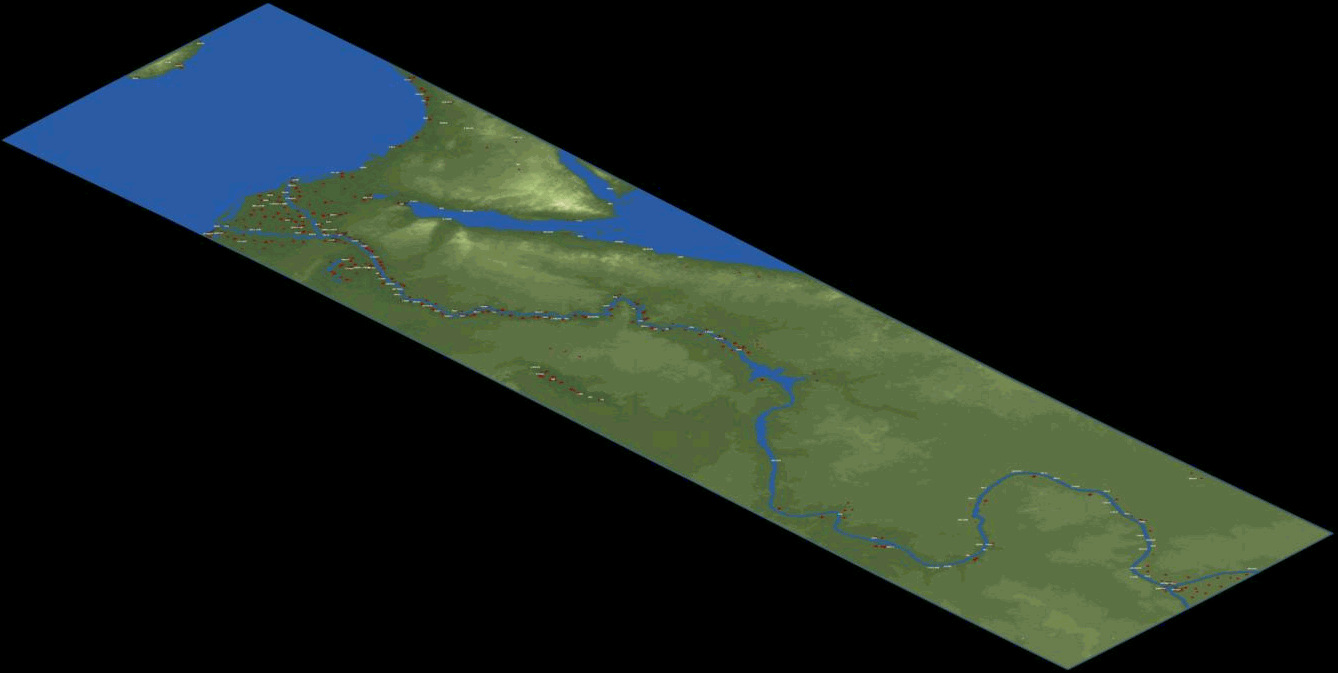
Africa

Alexander to Karthoum
/File/en/Community/Scenarios/Scn-AlexanderToKarthoum-Minimap.png
/File/en/Community/Scenarios/Scn-AlexanderToKarthoum-Screenshot.png
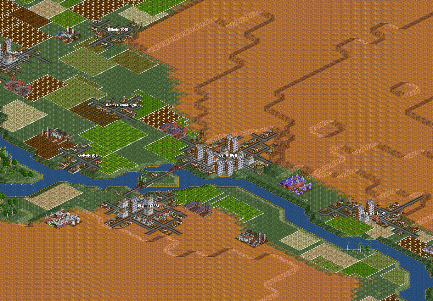
A map based on a Heightmap (en) for the Nile (from the delta to Karthoum, so Alexander to Karthoum). Cities have real names (english). Location, industry and size are relative.
Difficulty: Normal
Setting: Climates (en)
Size: 512x2048
Relief: Flat
Quantity of Towns: Normal
Quantity of Industries: Normal
Based on Real World: The Nile from the delta to Khartoum
OpenTTD version: 0.5.0+
Author: thebrightside
Download this scenario

Americas

Cuba
/File/en/Community/Scenarios/Cuba-minimap.png
/File/en/Community/Scenarios/Cuba-screenshot.png

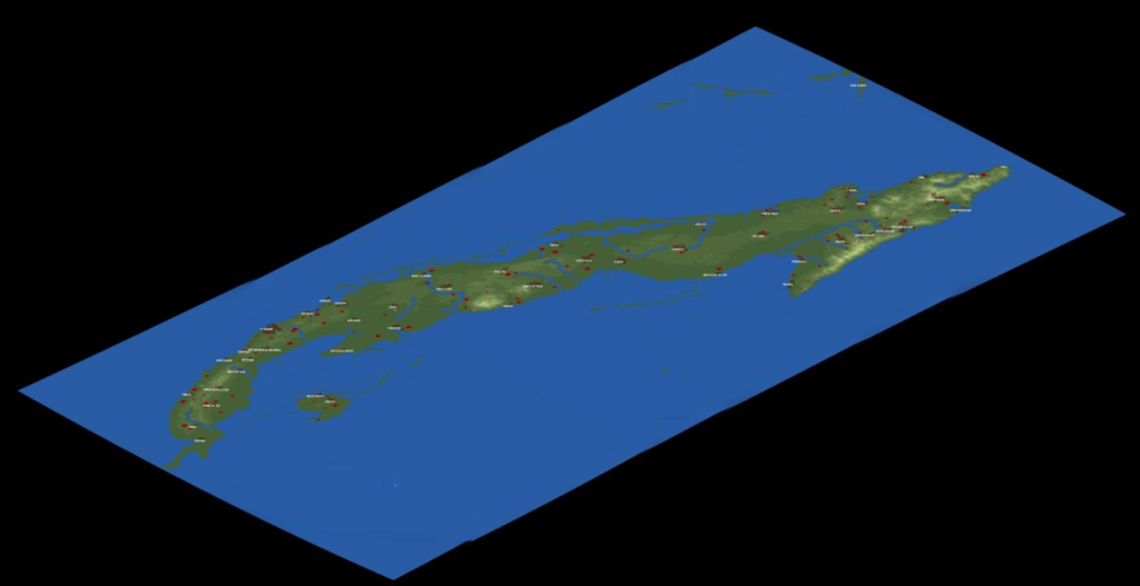
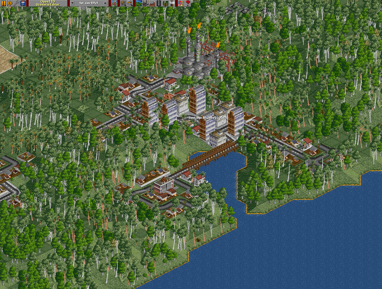
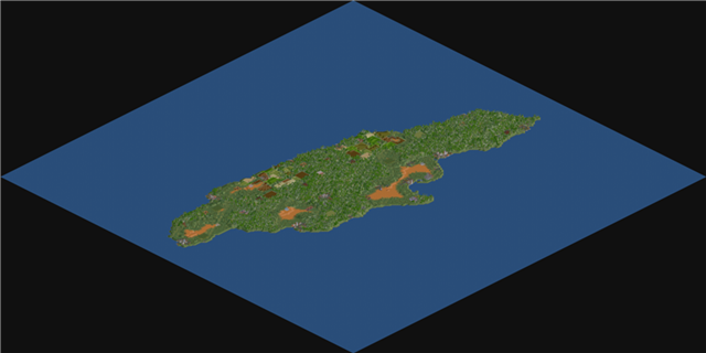
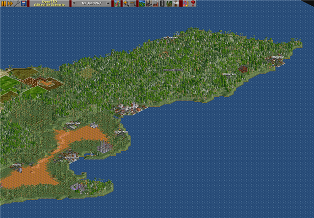
The scenario is based on a heightmap of Cuba from SRTM data. All the rivers are hand-placed with the help of maps. Cuba is a communist country, where no private transport companies exist. Given the chance,what kind of network would you build on this tropical island?
  • All cities and towns have their original spanish names. Their size is 1/500th of the original.
  • The industries are placed in the balance of real-life economies and game-play.
  • While the scenario is Sub-Tropical, there aren't any deserts; Cuba is a tropical island filled with jungles.
Difficulty: Normal
Setting: Climates (en)
Size: 1024x512
Relief: Mixed
Quantity of Towns: Normal
Quantity of Industries: Normal
Based on Real World: Cuba
OpenTTD version: 0.6.0
Author: Matias
Download this scenario

Florida v0.1
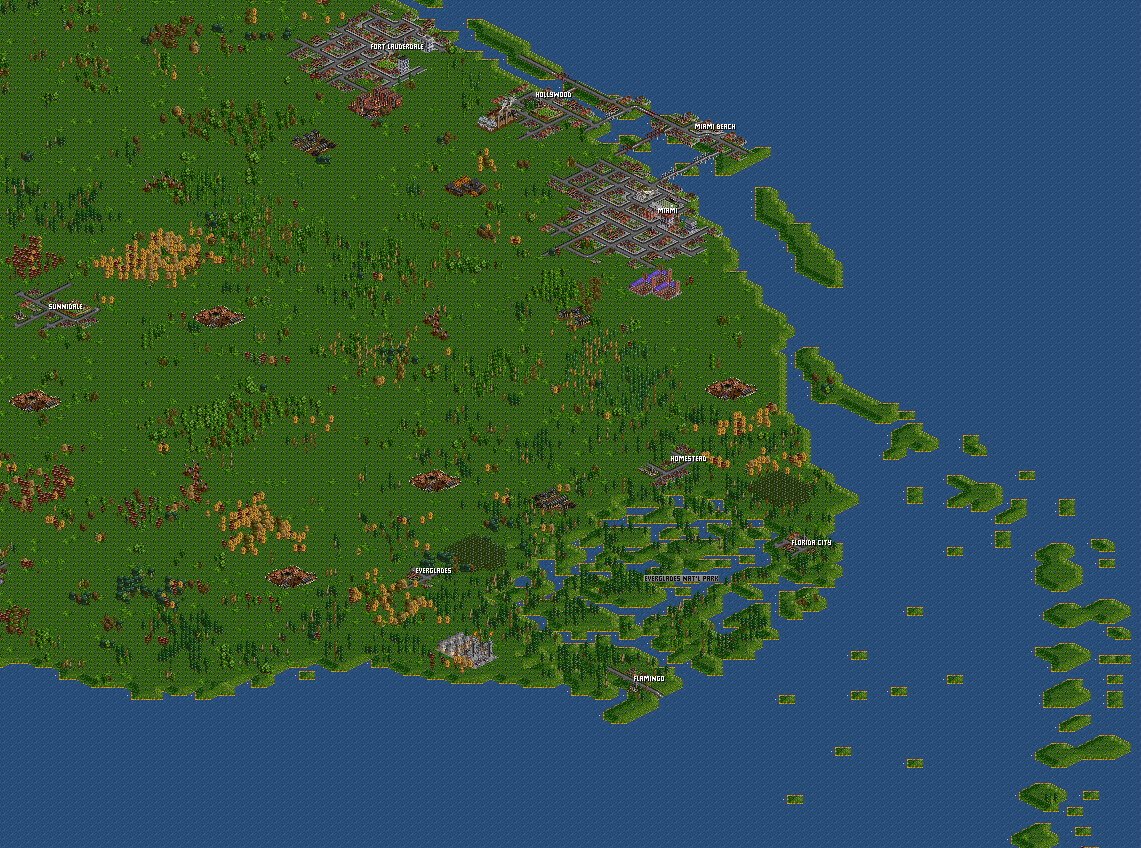
/File/en/Community/Scenarios/Florida v0.1.png
/File/en/Community/Scenarios/Scn-Florida-Screenshot.png
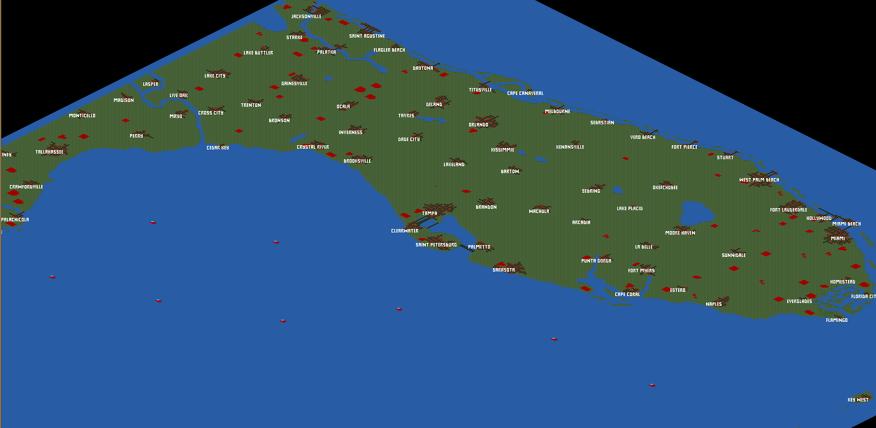
This is the first version of my Florida map. Email comments and suggestions to carskick at gmail dot com
Difficulty: Easy
Setting: Climates (en)
Size: 512x512
Relief: Very Flat
Quantity of Towns: High
Quantity of Industries: Normal
Based on Real World: Florida
OpenTTD version: 0.5.0
Author: James Kirk aka Carskick
Download this scenario

Jamaica
/File/en/Community/Scenarios/Giant Jamaica.png
/File/en/Community/Scenarios/Jamaica.png
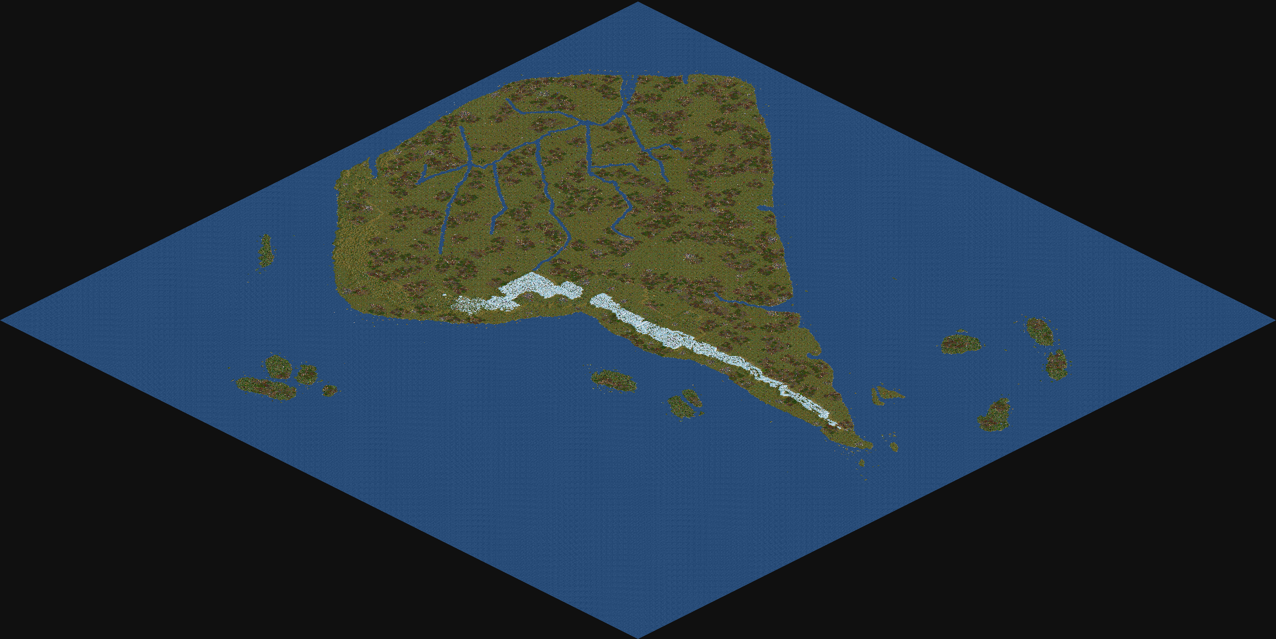
This scenario makes it possible to build the whole island full of transport networks. With the oil wells in the north and in the south, the scenario delivers a great potential to exploit the whole island. You can even start setting up a boat service, which makes the coast villages grow, so you can build a passenger network a few years later. You can also choose to just build a gigantic railway network, that transports all kinds of products to the island's population.
Difficulty: Hard
Setting: Climates (en)
Size: 256x256
Relief: Flat
Quantity of Towns: Normal
Quantity of Industries: High
Based on Real World: Jamaica
OpenTTD version: 0.5.2
Author: Luukland
Download this scenario

South America
/File/en/Community/Scenarios/South America.png
/File/en/Community/Scenarios/Sin nombre, 15º Ene 1930.png
The scenario is based on the real world region of South America. The environment is Sub Artic used especially for the Andes Mountain range. The towns don't have the actually population size, but there's a lot of countries with the major cities. This scenario haven't newgrf's, for compatibilities. The game start at 1930 and have 6 AI's, the first AI's will begin 4 year after you start the game.
Difficulty: Hard
Setting: Climates (en)
Size: 2048 x 2048
Relief: Mixed
Quantity of Towns: High
Quantity of Industries: High
Based on Real World: Yes
OpenTTD version: 1.3.2
Author: Nutnut
Download this scenario

Colorado
/File/en/Community/Scenarios/Coloradomap.png
/File/en/Community/Scenarios/Coloradodetail.png
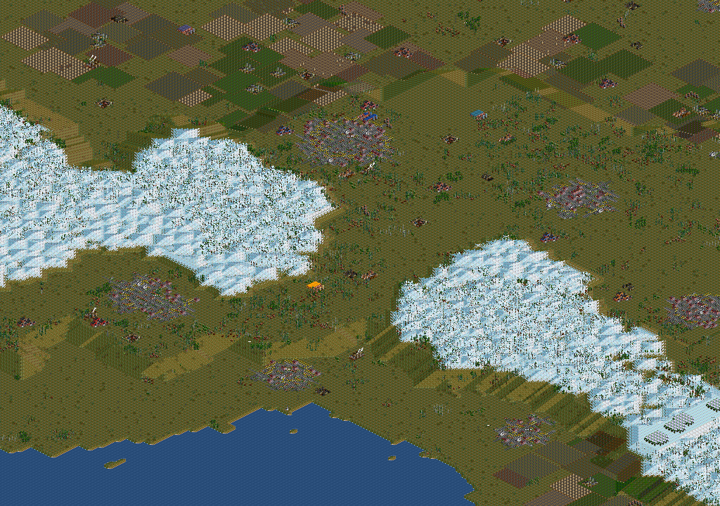
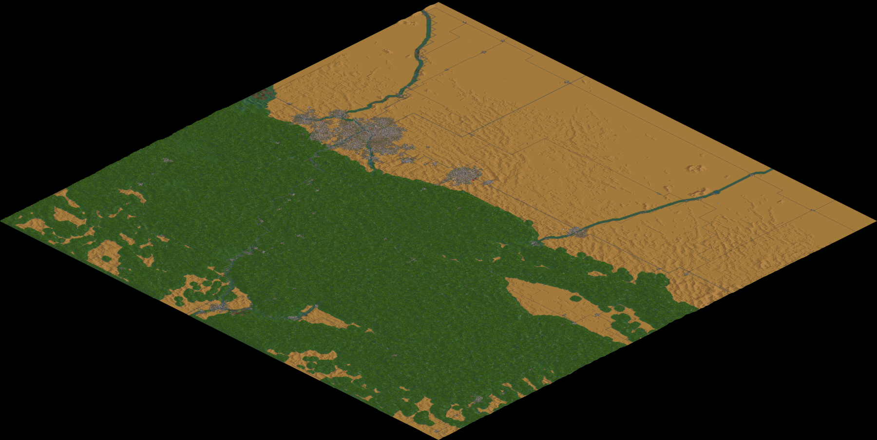
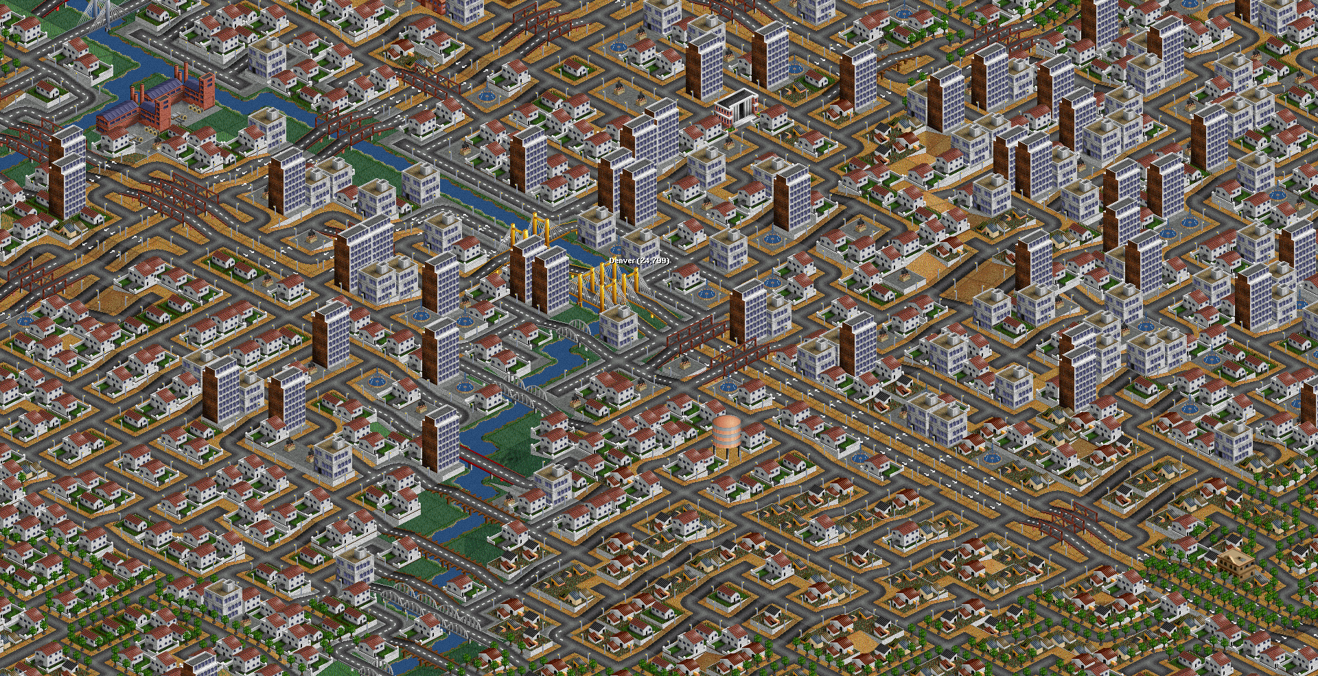
A scenario representing the US state of Colorado.
Difficulty: Hard
Setting: Climates (en)
Size: 1024x1024
Relief: Mixed
Quantity of Towns: High
Quantity of Industries: Normal
Based on Real World: Colorado
OpenTTD version: 1.10.0
Author: DonaldDuck
Download this scenario

Asia

Australia

Australia Flat V1.0
/File/en/Community/Scenarios/Scn-Australia Flat V.10-Minimap.png
/File/en/Community/Scenarios/Scn-Australia Flat V1.0-Screenshot.png
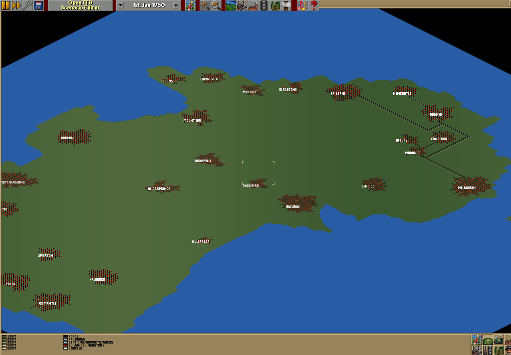
This Is A Heightmap Of Australia But I Made It Flat.
Difficulty: Easy
Setting: Climates (en)
Size: 512x512
Relief: Very Flat
Quantity of Towns: Normal
Quantity of Industries: None
Based on Real World: Australia
OpenTTD version: 0.5.3-RC3
Author: Jarokn
Download this scenario

Victoria_SE Australia
/File/en/Community/Scenarios/Victoriamap.png
/File/en/Community/Scenarios/Melbourne.png
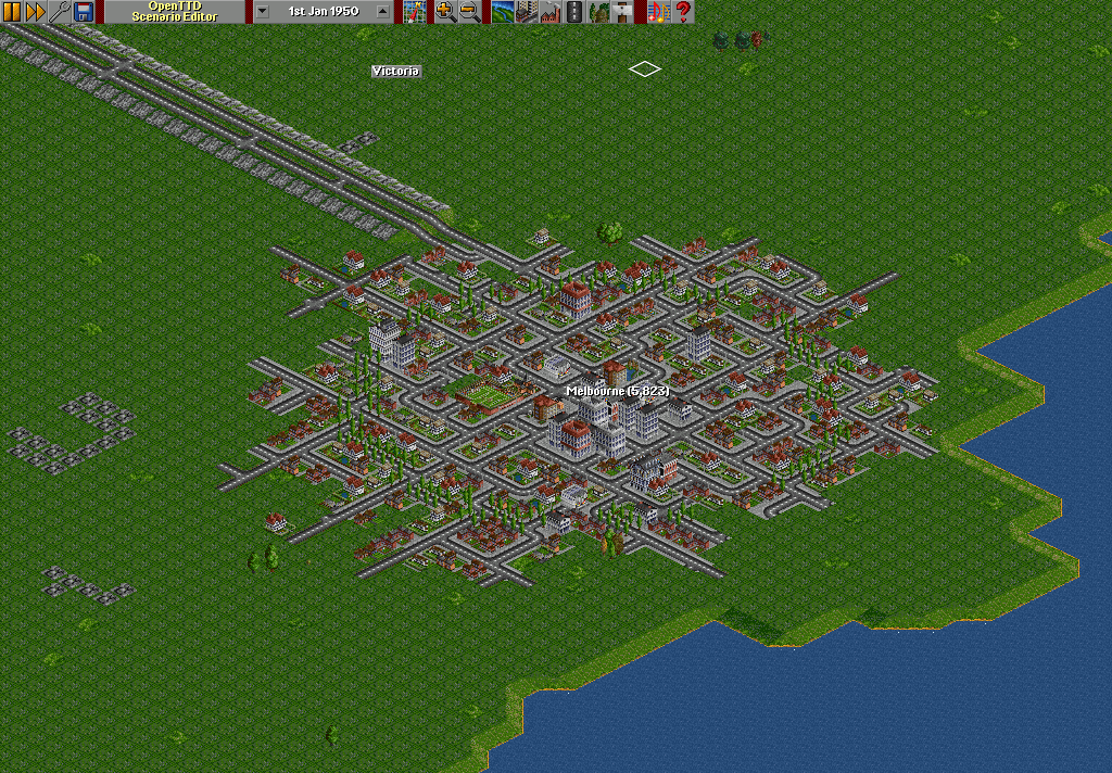
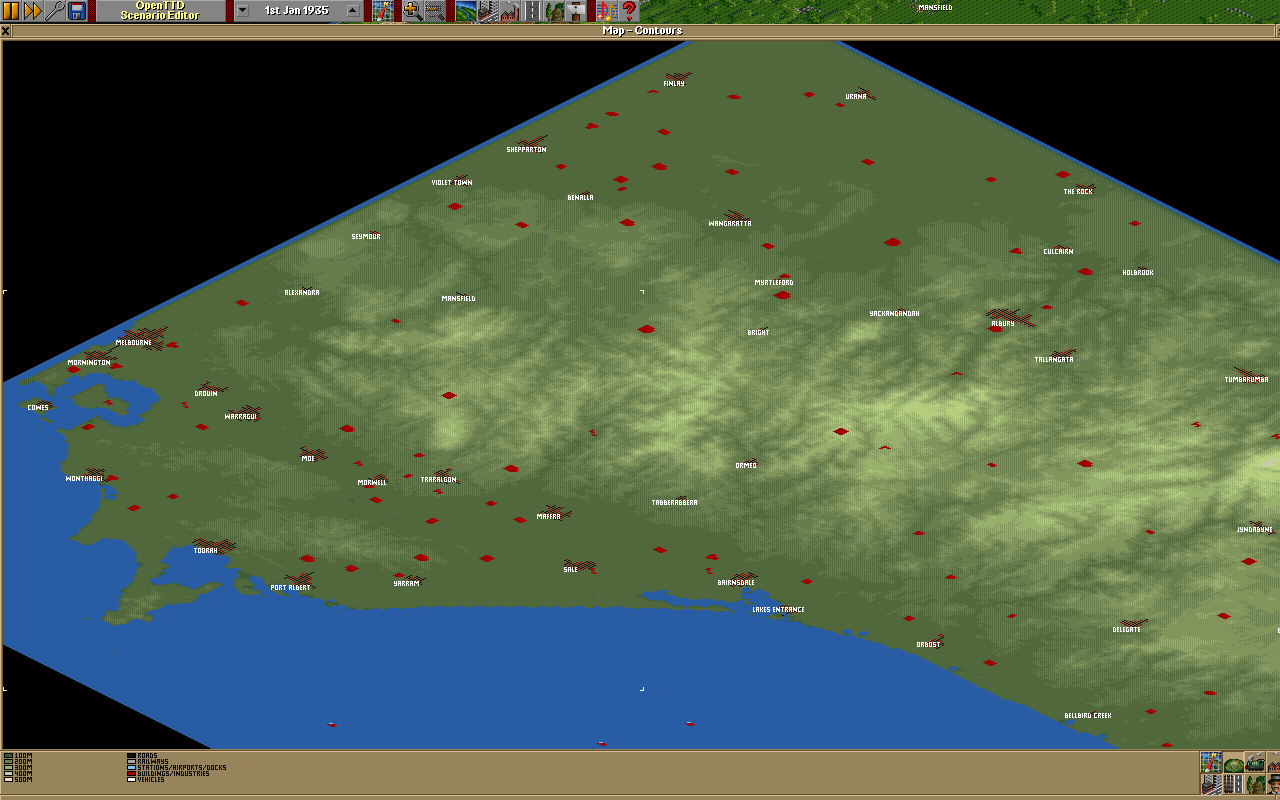
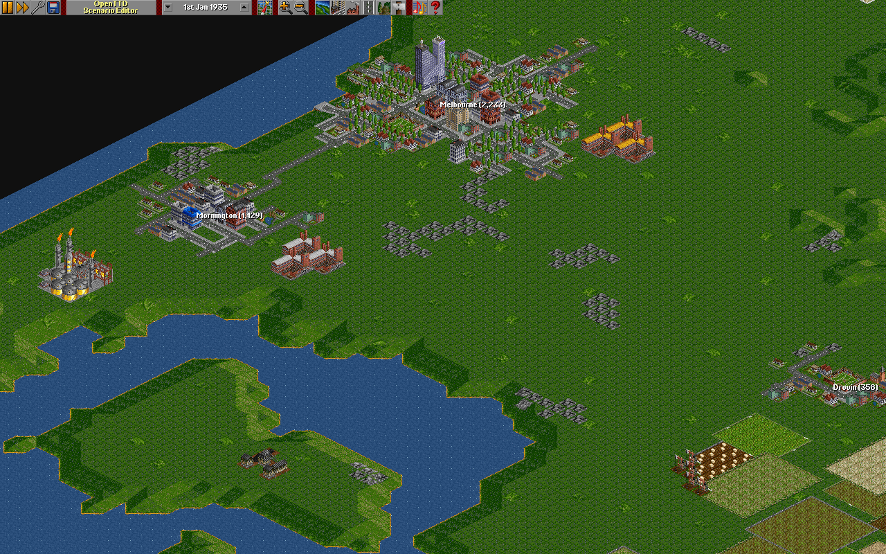
SE Australia, from Melbourne and Mornington in the S.West to Canberra in the N.East. The towns are only approximate, and the industries are mainly random.
Difficulty: Normal
Setting: Climates (en)
Size: 1024x1024
Relief: Mixed
Quantity of Towns: Low
Quantity of Industries: Normal
Based on Real World: Yes
OpenTTD version: 0.6.1-RC1
Author: Sootynz
Download this scenario

Tasmania
/File/en/Community/Scenarios/Tasmania.png
/File/en/Community/Scenarios/Tasmania Giant.png
The scenario is based on the height maps of Google Earth. So it is totally like it is in the real world. With Launceston in the north and Hobart in the south, makes it possible to set up a gigantic railway network.

With plenty of water supplies on the small deserts, and some farms on the higher plains, this scenario is really a true headache, for every strategist!

Some ideas to build:
  • Passenger network from Launceston to Hobart
  • Water network, from the deserts to any giant town
  • Diamond network, from the small islands to the north to Hobart
  • Oil/Food from the mountainous inlands to the coast, where the refineries are located
Difficulty: Hard
Setting: Climates (en)
Size: 512x512
Relief: Mixed
Quantity of Towns: Medium
Quantity of Industries: High
Based on Real World: Tasmania
OpenTTD version: 0.5.2
Author: Luukland
Download this scenario

Oceania

New Zealand

Chatham Islands v0.5
/File/en/Community/Scenarios/Scn-ChathamIslands-Minimap.png
/File/en/Community/Scenarios/Scn-ChathamIslands-Screenshot.png
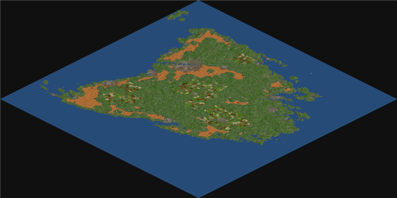
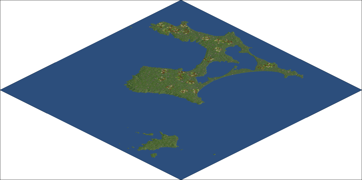
This is a map of New Zealands Chatham Islands. Only the terrain is real as I checked the island and there is only one small town on it and no visible industries. The best part and most profiting is a small island to the south of the large island where there are a lot of diamond and copper ore mines with high production rates but there are no industries there that would accept those materials and the island is a fair way away from the big one so you'll have to earn quite some money before you can tap the resources there, ships may or may not be a good choice, use your imagination ;)
Difficulty: Normal
Setting: Climates (en)
Size: 1024x1024
Relief: Hilly
Quantity of Towns: High
Quantity of Industries: High
Based on Real World: Chatham Islands (Terrain only)
OpenTTD version: 0.5.0+
Author: Ominus
Download this scenario

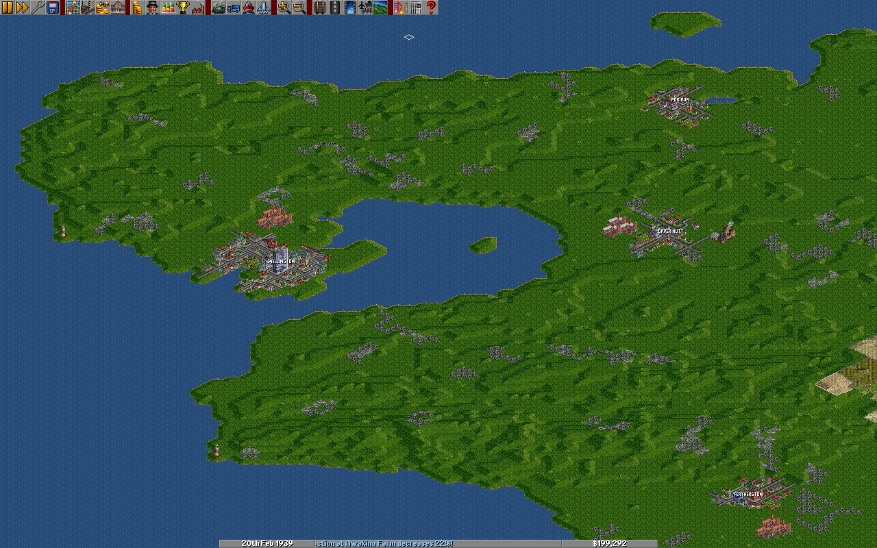
New Zealand_North Island
/File/en/Community/Scenarios/NZ CNI Map.png
/File/en/Community/Scenarios/Weillington.png
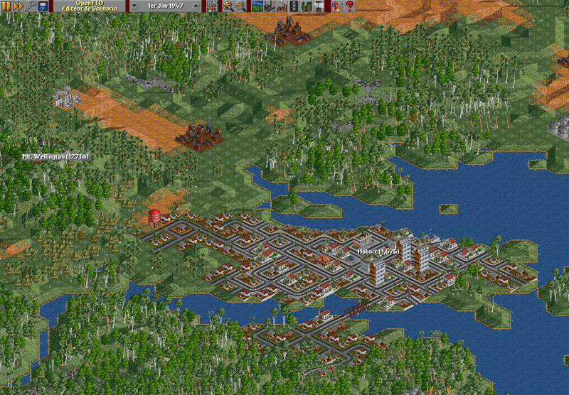
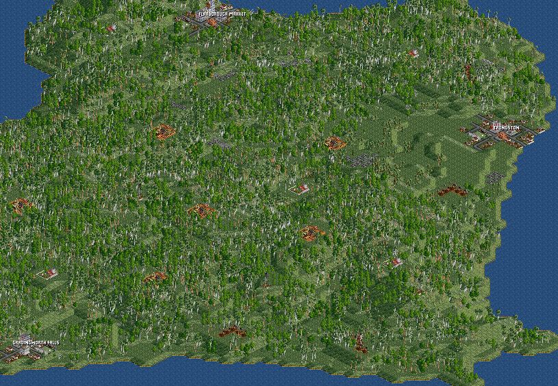
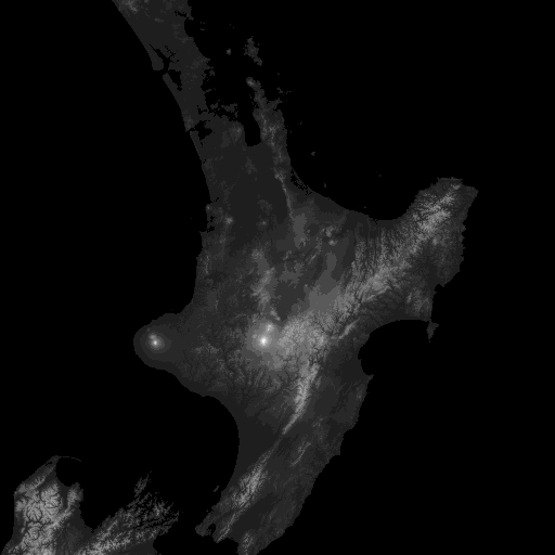
The North Island from Whangarei to the Nelson / Marlborough region of the top of the South Island. Hobbiton from the Lord of the Rings is the only imaginary town. There are very few power stations and only two oil refineries. In real life, the railway engineers had to construct the Raurimu rail spiral to limit too steep a grade - see http://www.nzhistory.net.nz/googlemap/2459
Difficulty: Normal
Setting: Climates (en)
Size: 2048x2048
Relief: Mixed
Quantity of Towns: Low
Quantity of Industries: Normal
Based on Real World: Yes
OpenTTD version: 0.6.1-RC1
Author: Sootynz
Download this scenario

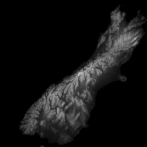
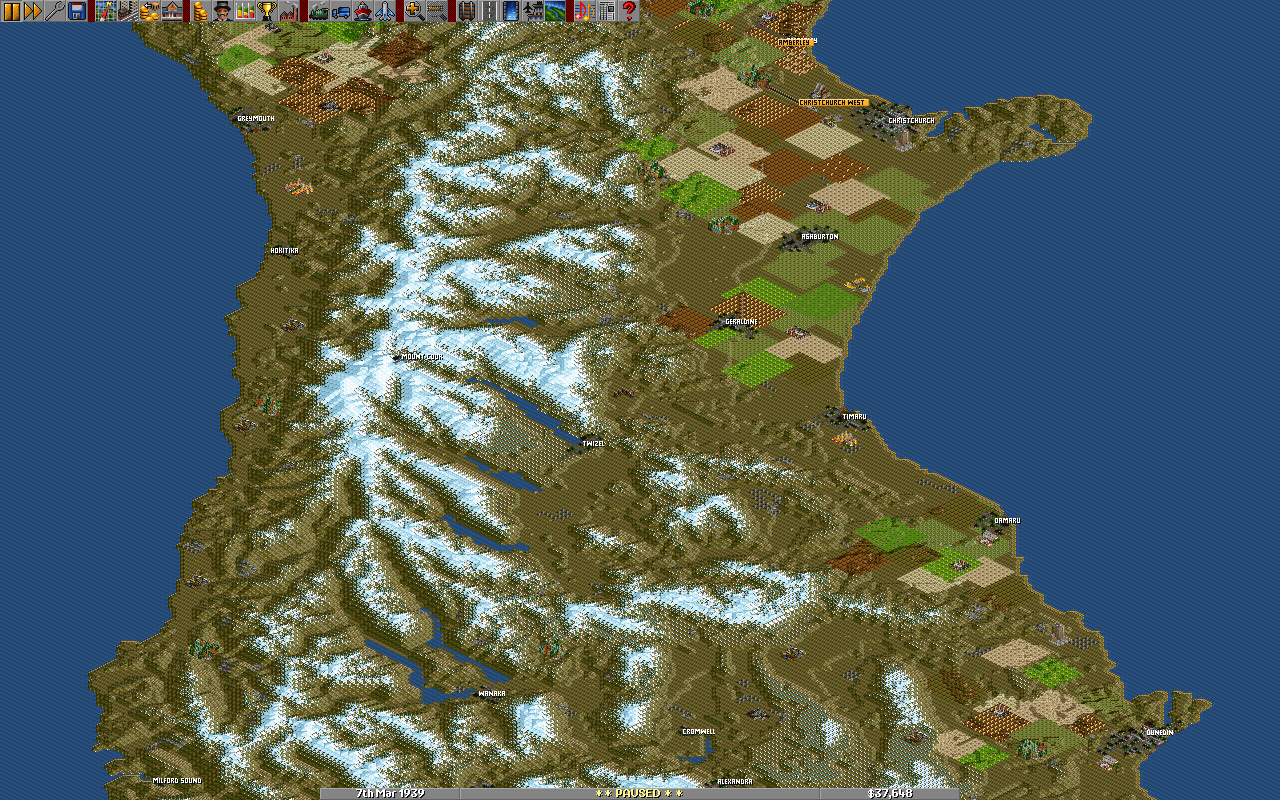
New Zealand_South Island_Alpine
/File/en/Community/Scenarios/New Z SIsland.png
/File/en/Community/Scenarios/Westcoast and Canterbury.png
The South Island with Arctic/Alpine climate. This uses George's ECS Wood vector to situate forests on broken terrain. Hopefully a challenge, provided you dont bulldoze the Southern Alps flat. Some valuable resources on the West coast, with all the industry on the East. There are only two power stations and one oil refinery. The towns are situated as close as I can get them, the industries roughly and intended to make a good game. You need to load the ECS wood vector from http://george.zernebok.net/newgrf/newgrf.html. On the scenario map you can clearly see the Alpine fault line http://en.wikipedia.org/wiki/Alpine_Fault. Another big earthquake is due any time soon.
Difficulty: [Hardl
Setting: Climates (en)
Size: 1024x1024
Relief: Mixed
Quantity of Towns: Low
Quantity of Industries: Normal
Based on Real World: Yes
OpenTTD version: 0.6.1-RC1
Author: Sootynz
Download this scenario